On this page
Three key points
The Amu Darya and Syr Darya brought water to the Aral Sea.
Large-scale Soviet-era diversions were a major historical turning point, not the only cause.
The North Aral has partly recovered; that does not mean the whole sea has recovered.
Where did the water go?
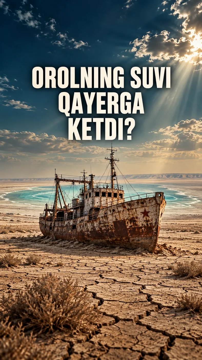
From the 1960s, major irrigation projects took more river water for cotton and other crops. Less water reached the Aral Sea.
“Main cause” refers to that historical turning point, not an exclusive cause. Water withdrawals continued after 1991, and drought also played a role.
The sea did not change uniformly
The eastern basin of the South Aral dried up in summer 2014; water levels varied in later years. Recovery in the north is a separate process.
Partial recovery of water and fisheries in the north does not mean the entire Aral Sea returned to its former state.
What is being done on the dry seabed?
Saxaul is being planted on the dry seabed in Uzbekistan to help reduce salty dust.
Planting trees cannot replace refilling the sea with water.
About the images in the video
The year-by-year Aral images draw on NASA observations. Some scenes were animated to explain the causes.
The canals, cotton fields and transitions are schematic. They are not measured historical canal routes or exact shorelines for every year.
About the materials
Animations and map transitions are simplified to aid explanation. Source images are linked in the relevant sections.
Found an error?
If you find a specific error or a better source, send us the claim and its link. We will review it and date any correction on this page.
Write to us on Instagram