
UZBEK VISUAL STORIES ✳
Why is the world like this?
We start with a question and follow maps, stories and evidence to an answer.
Every video leaves a trail you can check.
?
QUESTION → EVIDENCE → ANSWER
01 / QUESTION02 / MAP03 / SOURCESCROLL DOWN ↓
OUR APPROACH
For us, a compelling story is stronger with solid facts. That is why we openly explain our sources and simplified visuals.
✳EVIDENCE LIBRARY / 01Seen the video?
Seen the video?
Check the evidence.
Key claims, direct links and the limits of our visuals, in one place.
NEW · MAPS AND DOCUMENTS
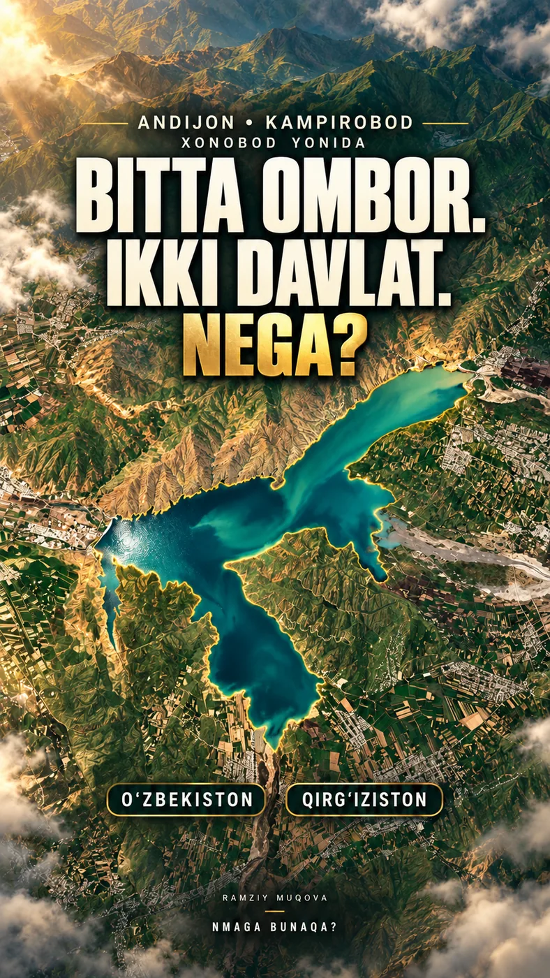
ENVIRONMENT · HISTORYOne reservoir, two countries. Why?
Two 2022 agreements, the construction timeline and how we read seven satellite images.
- Territory and water use are addressed in separate agreements.
- The 45 → 20 km² in our 2025 imagery is an estimate of water surface area, not volume.
- The gold outline marks the water’s edge; it is not a political or cadastral border.
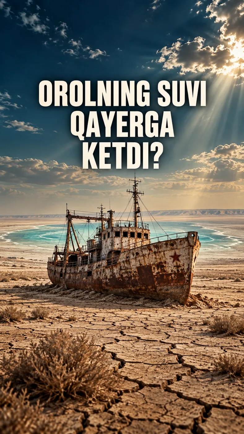
Where did the Aral Sea’s water go?
What was the major historical turning point, and why was it not the only cause?
8 Sources4 SectionsOpen sources“
A good question is the beginning of understanding.
”VIDEOS / 02One question.
One question.
Many worlds.
Geography, history, technology and stories close to home. Each is a journey.
Topic
01One reservoir, two countries. Why?
 02
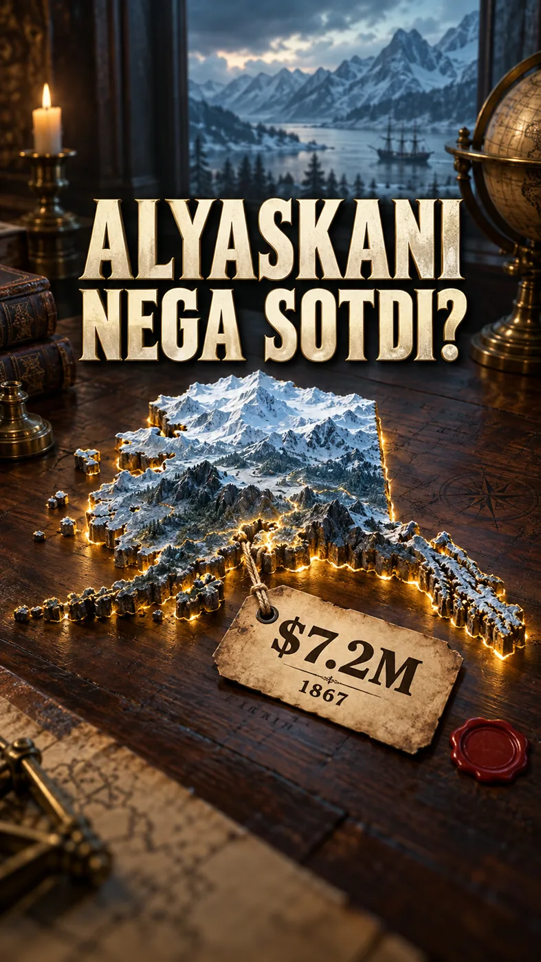
02Why was Alaska sold?
03Where did the Aral Sea’s water go?
 04
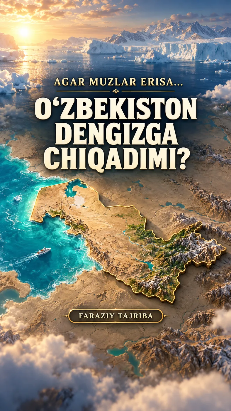
04What if the ice melted?
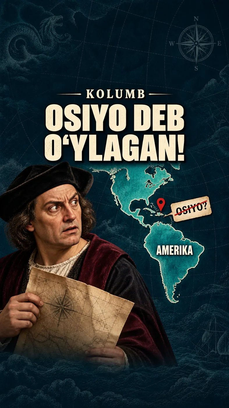 05
05Columbus thought it was Asia!
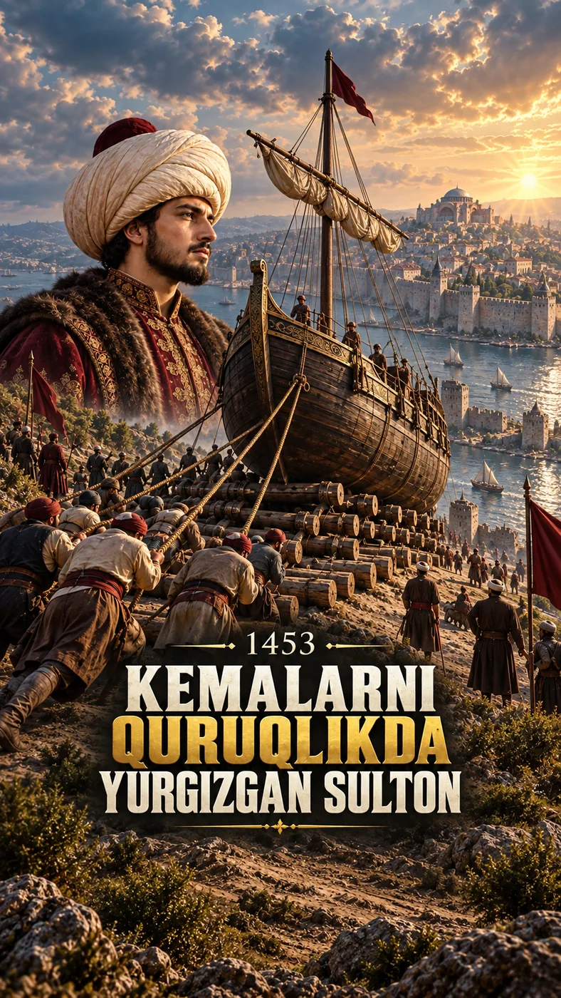 06
061453: Did ships cross the land?
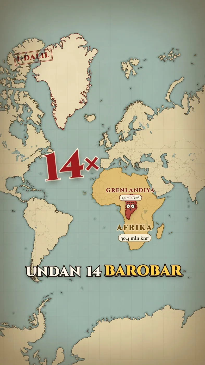 07
07Why do map sizes mislead us?
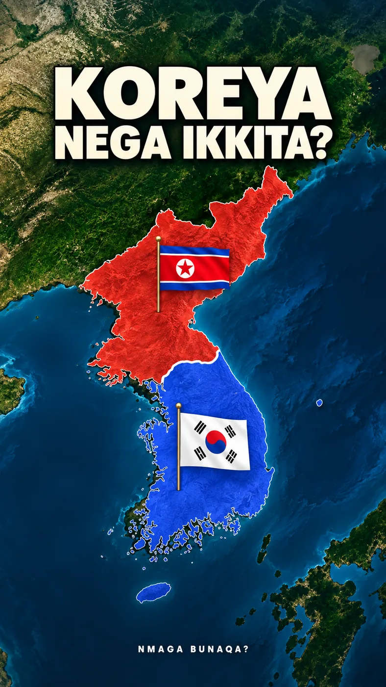 08
08Why are there two Koreas?
 09
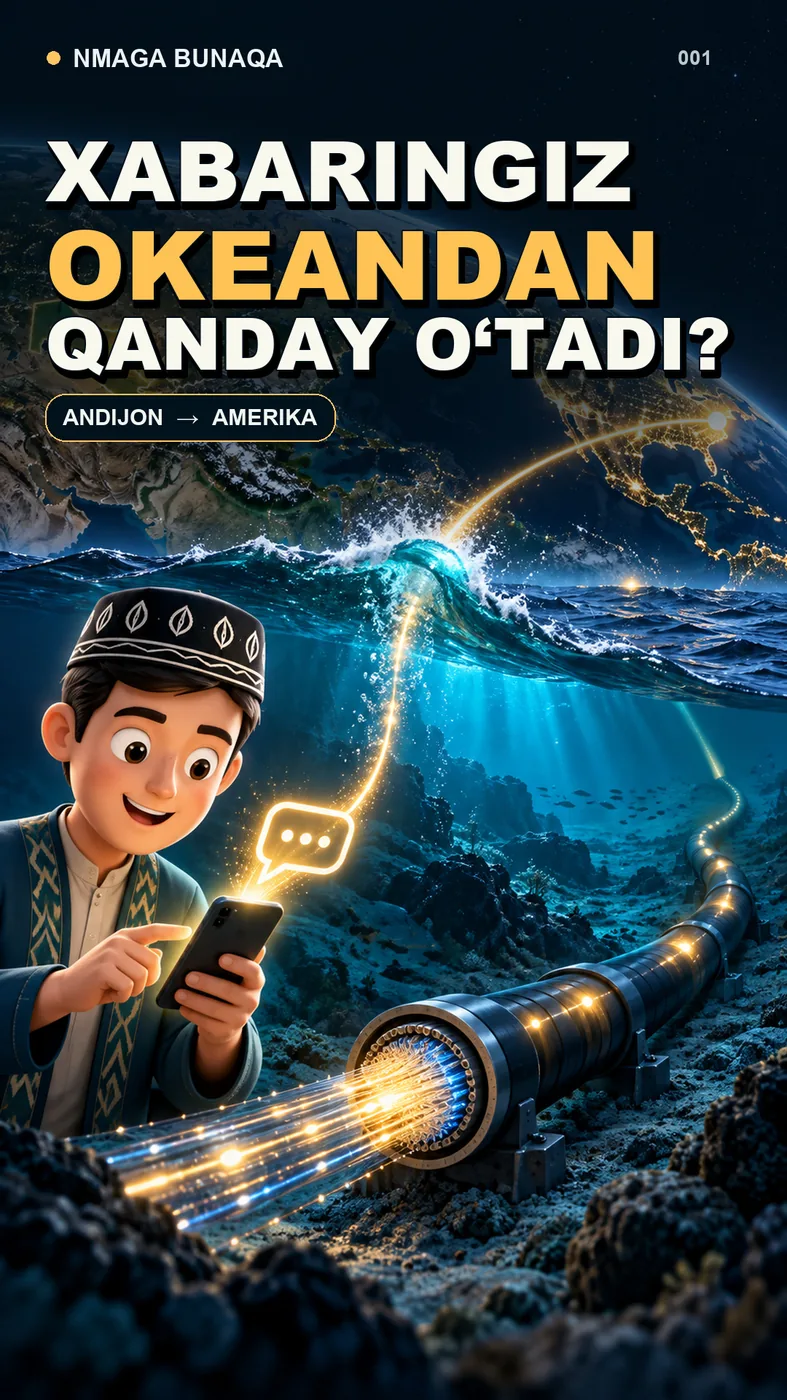
09How does a greeting cross the ocean?
No videos found. Try another word or topic.
Every video has a source and notes page. Open a card to examine the evidence.
ABOUT US / 03Why?