On this page
Three key points
Territory and water use are addressed in separate agreements.
The 45 → 20 km² in our 2025 imagery is an estimate of water surface area, not volume.
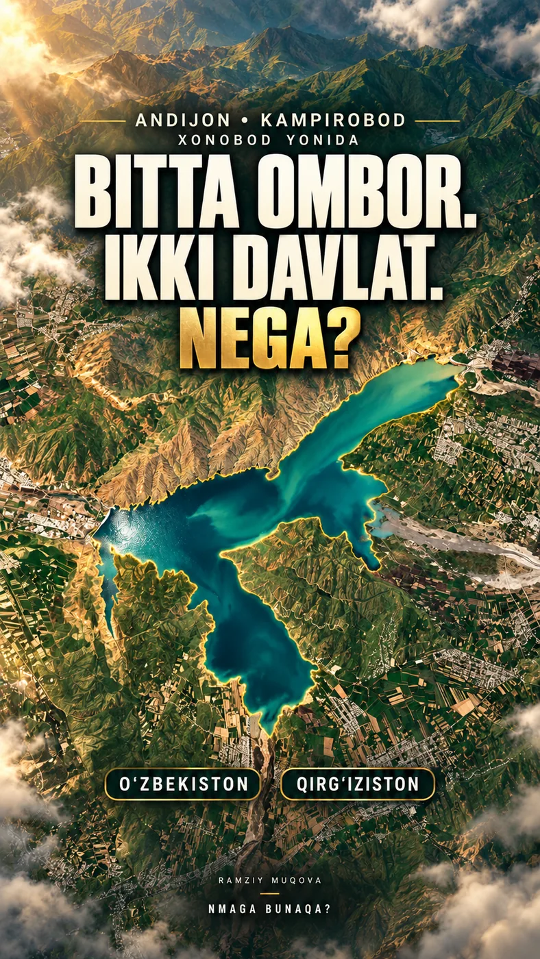
The gold outline marks the water’s edge; it is not a political or cadastral border.
Two documents, two questions
The 2022 agreements cannot be reduced to one simple sentence. The document about territory and the rules for joint water management are related, but they are not the same thing.
“Joint management” does not mean dividing the water into equal halves. The animation does not draw the exact legal border.
Where did it begin?
The river flows down from mountains on the Kyrgyzstan side; the reservoir is linked to irrigation downstream. Construction took place in stages, not on a single date.
1969 is the date of the first concrete, not the start of all construction. This page does not claim an exact size for an earlier land exchange.
How did we measure the water?
We compared Sentinel-2 images from seven dates in 2025. The figures estimate visible water surface area; they are not official measurements of water volume.
Open the seven original images
| Date | Estimated area | Image |
|---|---|---|
| 18.03.2025 | ≈35 km² | Open image |
| 12.04.2025 | ≈36 km² | Open image |
| 12.05.2025 | ≈45 km² | Open image |
| 21.06.2025 | ≈45 km² | Open image |
| 18.07.2025 | ≈38 km² | Open image |
| 20.08.2025 | ≈22 km² | Open image |
| 14.09.2025 | ≈20 km² | Open image |
The approximately 55% difference from May to September concerns surface area. One year of images is not a long-term average and does not measure every cause of change.
Limits of the map and imagery
Relief, place names and older background imagery have sources. Motion, transitions and the gold water outline were made to explain the story.
The gold outline is not a political or cadastral border. Construction and filling scenes are schematic. The cover is a generated illustration, not documentary aerial photography.
About the materials
Contains modified Copernicus Sentinel data (2025).
Produced using Copernicus WorldDEM™-90 © DLR e.V. 2010–2014 and © Airbus Defence and Space GmbH 2014–2018, provided under COPERNICUS by the European Union and ESA; all rights reserved.
The bodies responsible for the Copernicus programme accept no liability for use of Copernicus WorldDEM™-90 data.
© OpenStreetMap contributors — ODbL.
Music
Found an error?
This is not an official statement by a government body. If you find a specific error, send us the claim and a source. We will check it and date any correction on this page.
Write to us on Instagram